Land Use Services
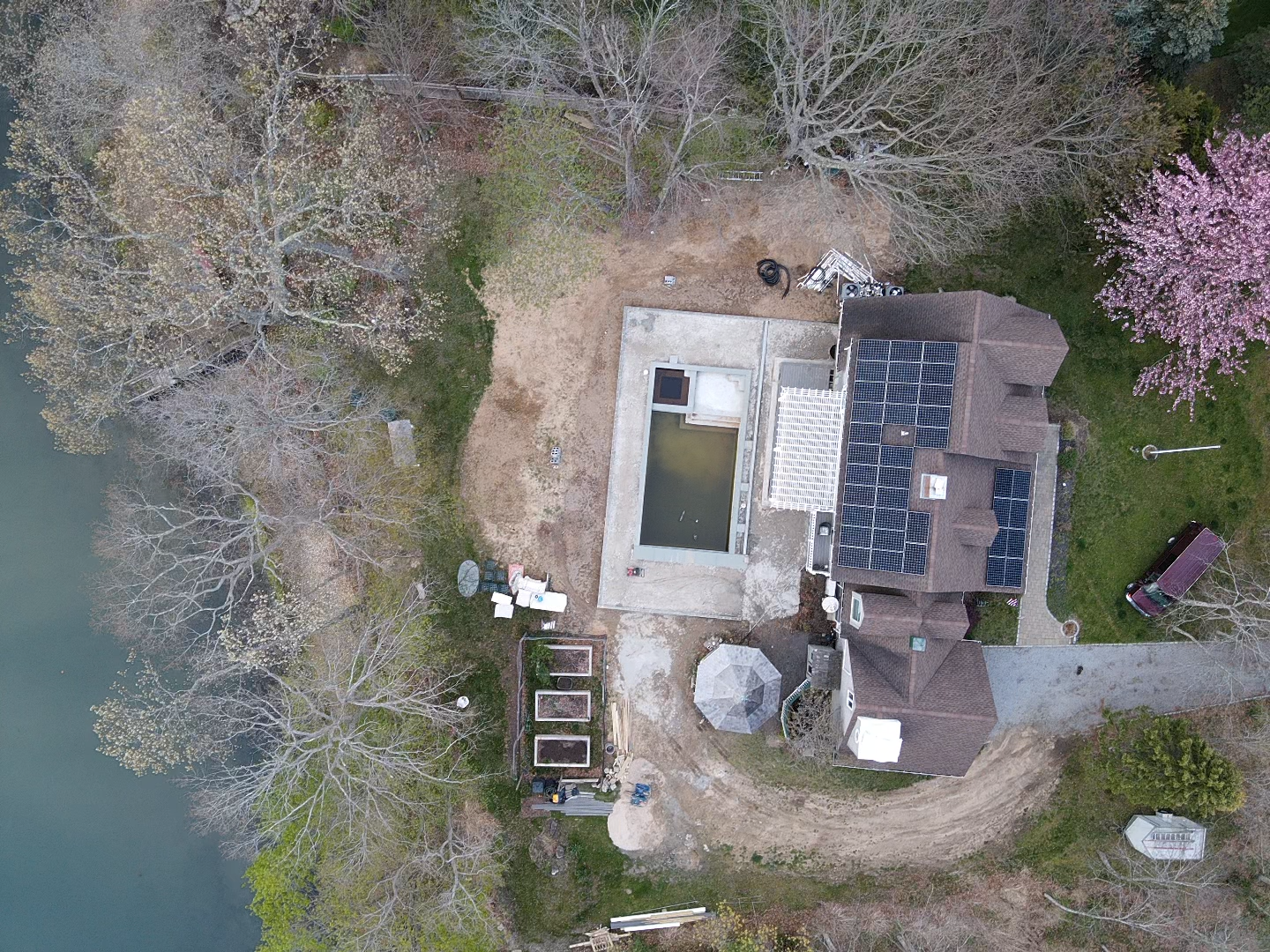
Drone imaging offers land use professionals a powerful new way to assess, document, and present site information with clarity and precision. Aerial imagery provides up-to-date, high-resolution views of property boundaries, topography, easements, and potential encroachments—delivering insights that traditional surveys may overlook or take longer to capture. These detailed visuals enhance project planning, strengthen presentations before zoning boards or clients, and support due diligence with verifiable site data. Ongoing aerial monitoring can also track development progress, ensure regulatory compliance, and identify changes over time. By incorporating drone imaging into their workflow, land use professionals can make more informed decisions, streamline documentation, and gain a distinct advantage in managing complex property and development matters.